
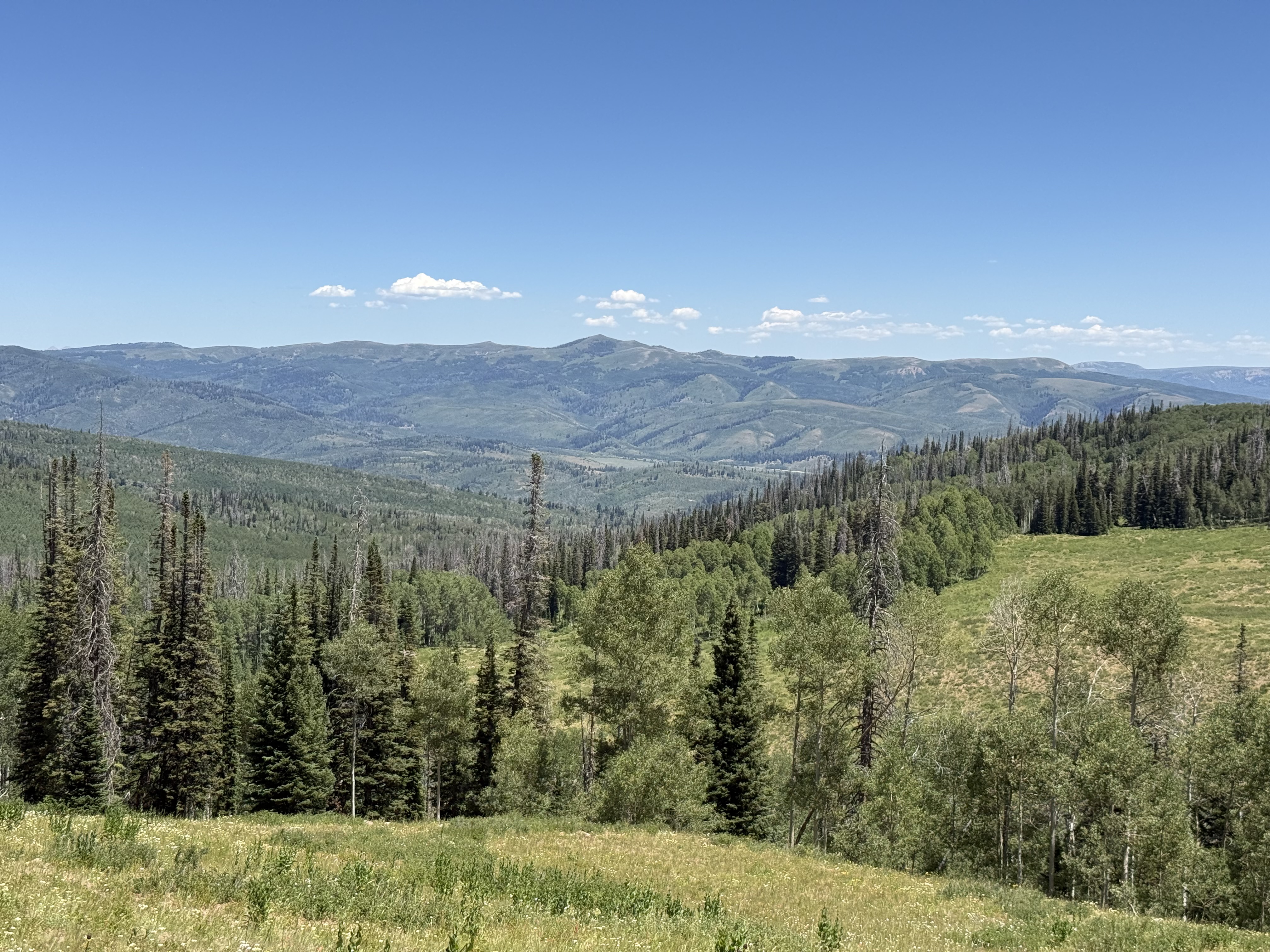
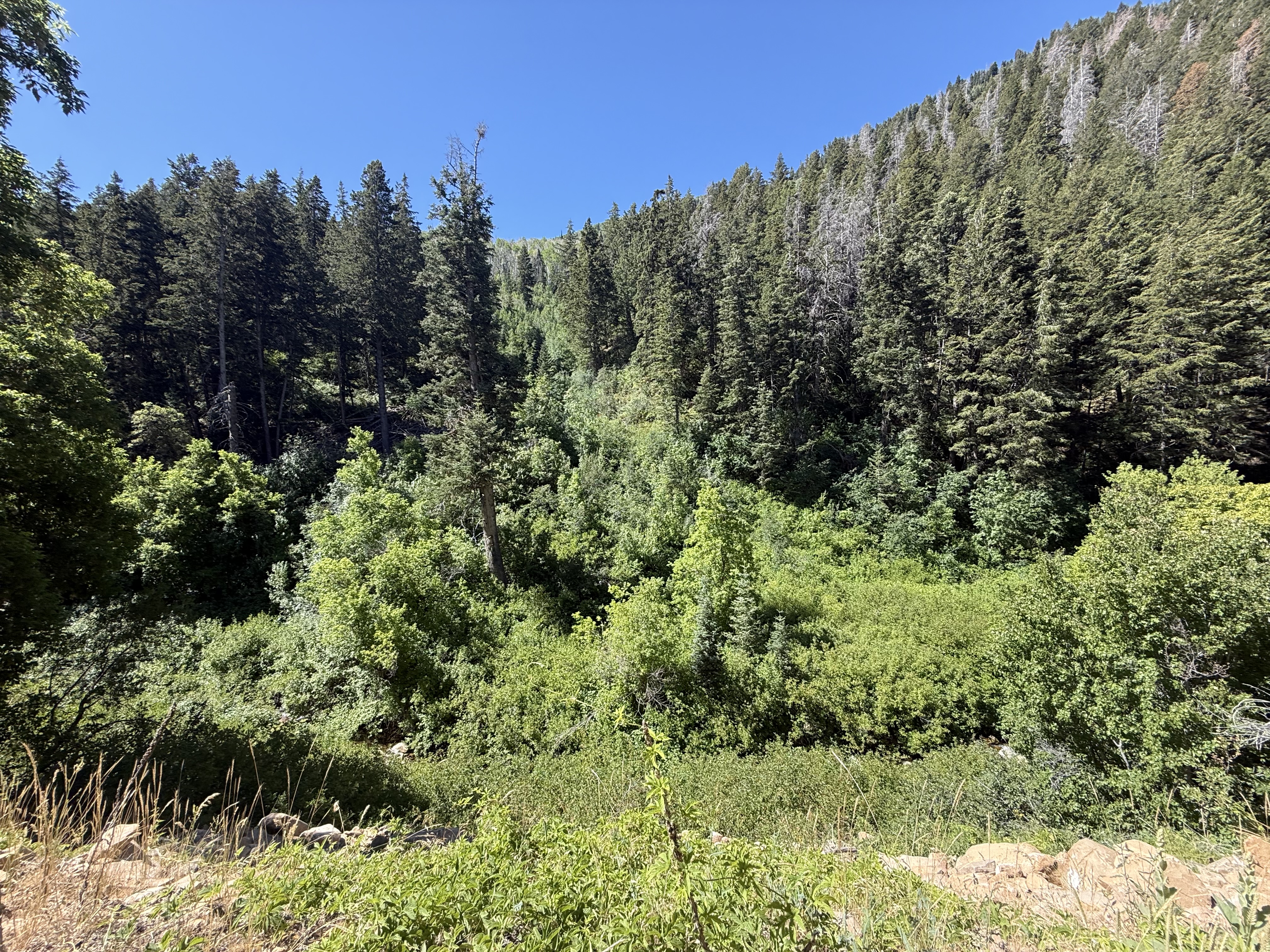
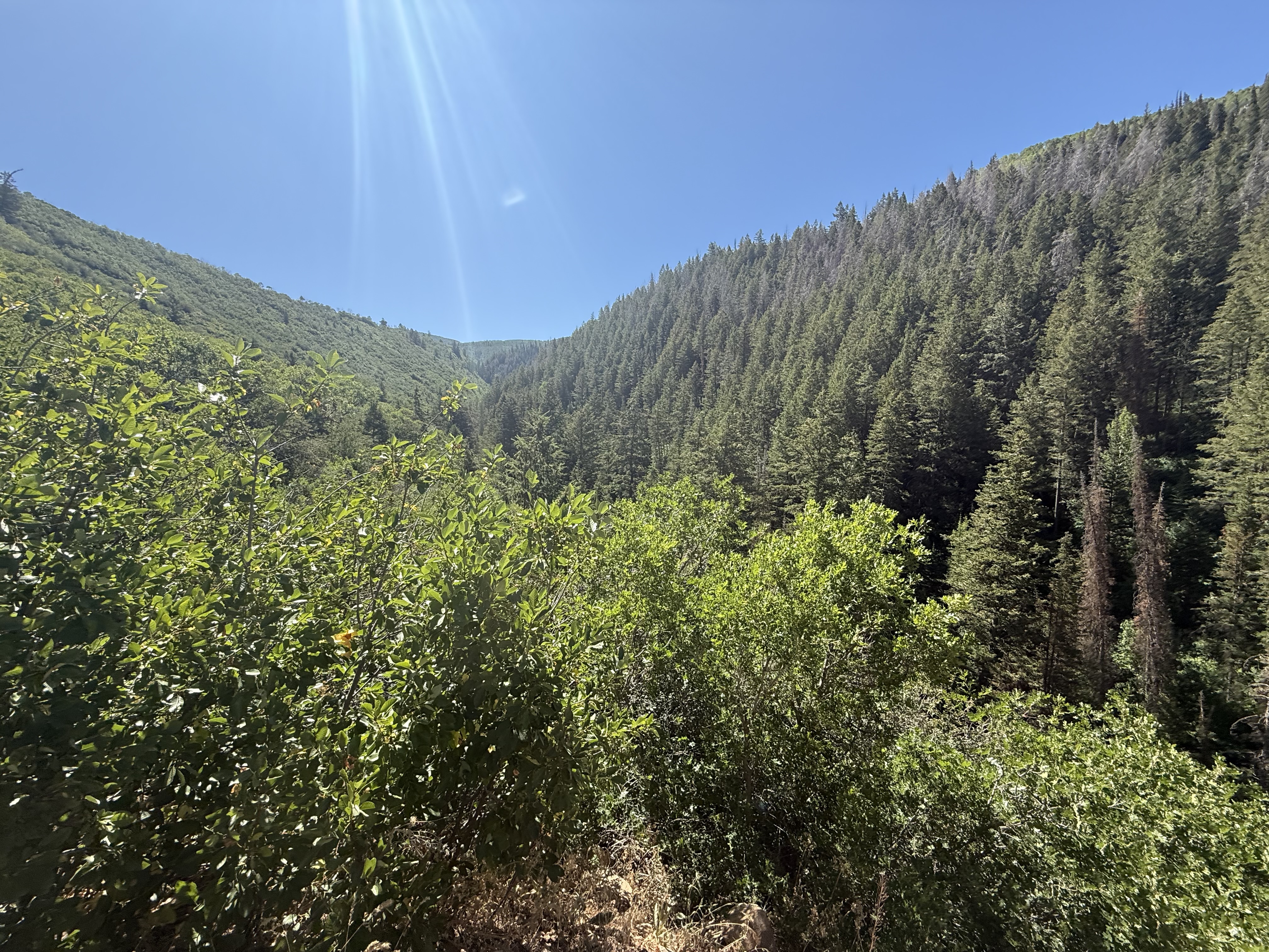
For our July ride we will be in the Daniel’s summit area. This is a beautiful mountain area between Strawberry reservoir and Heber city.
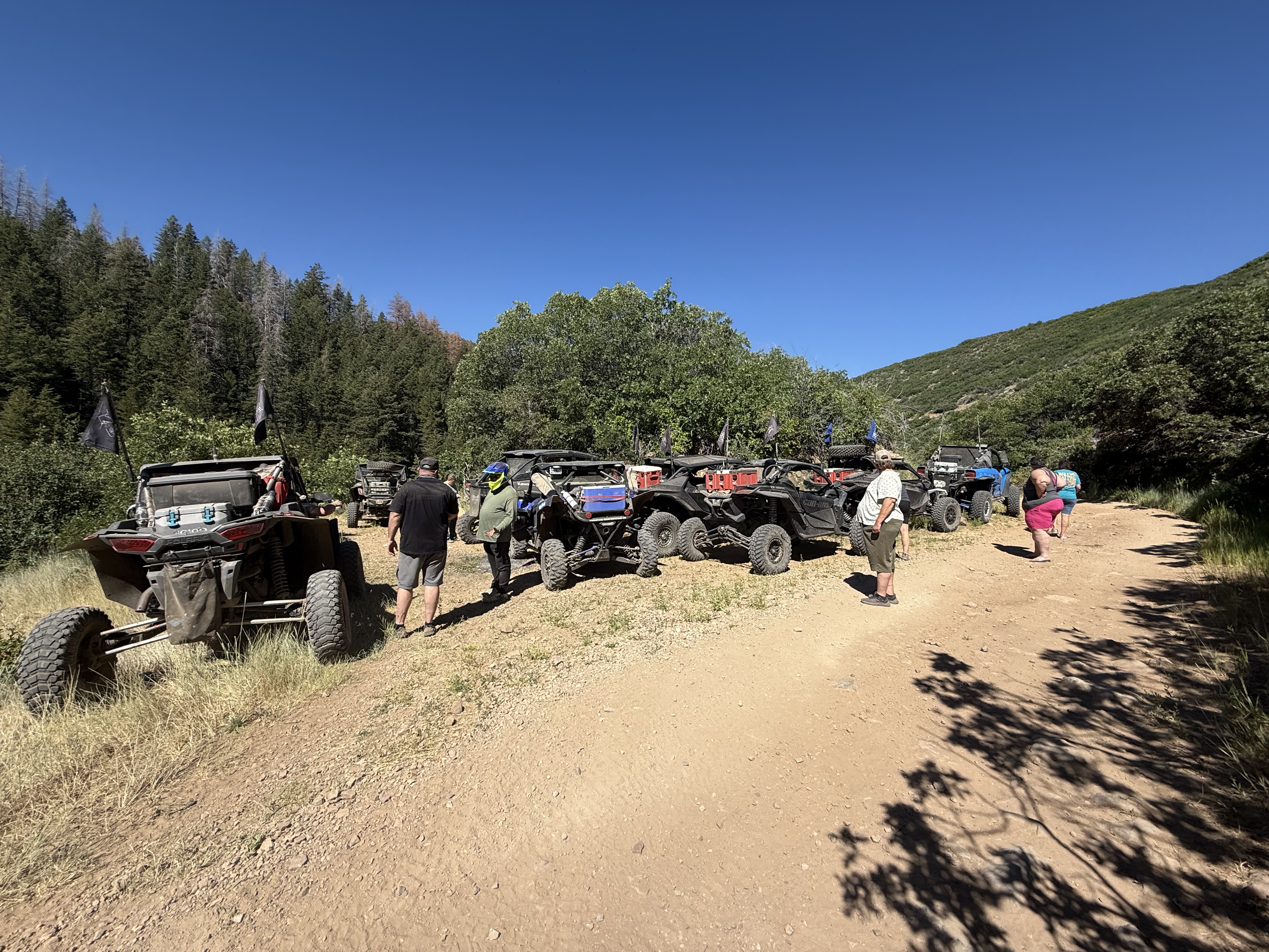
Getting to camp/staging area turn off highway 40 North onto Strawberry river road. Then watch for CCOHVA signs. The coordinates will be on the main road and we will camp at one of 6 possible locations up the road from that depending on which is available.
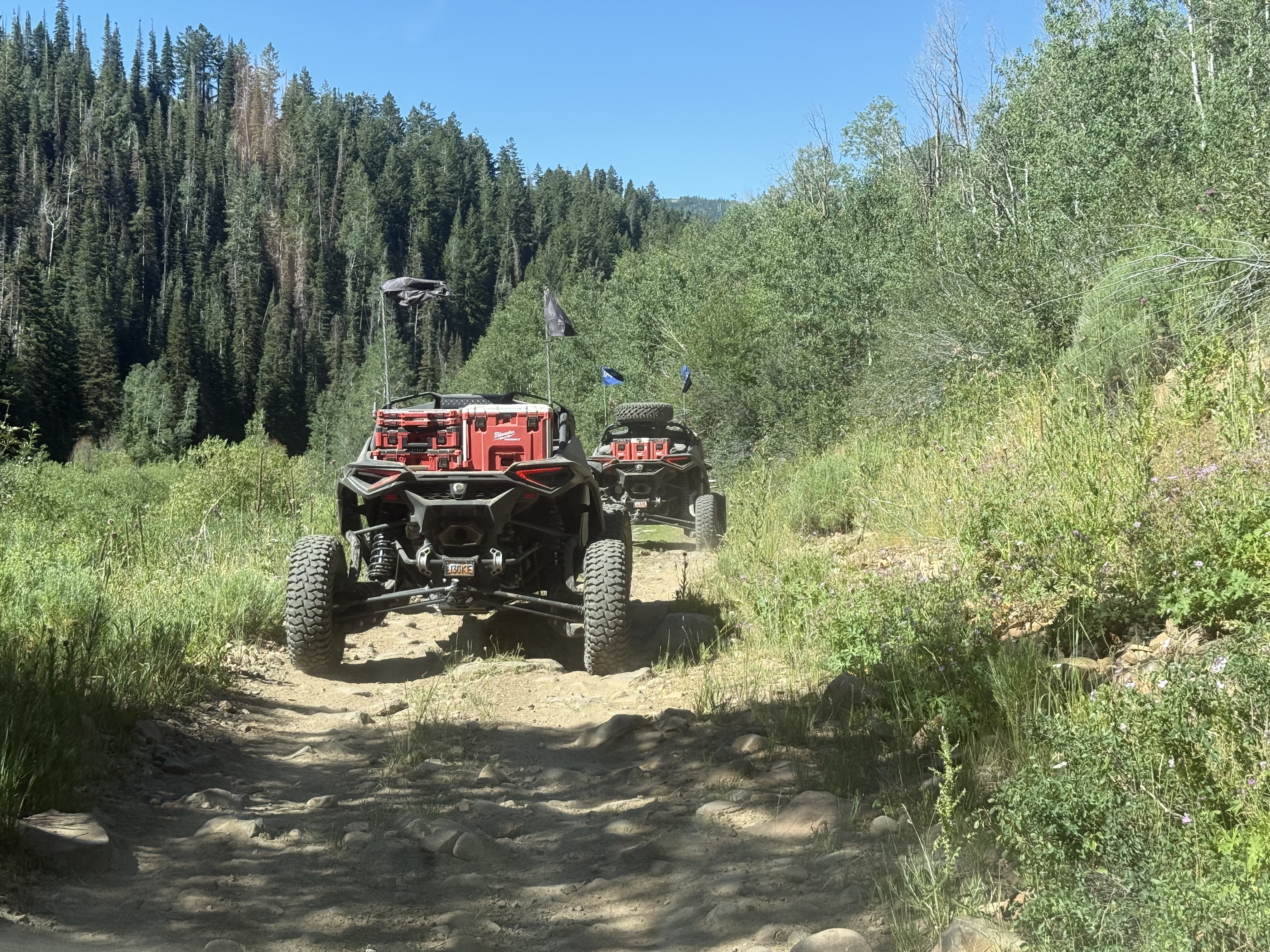
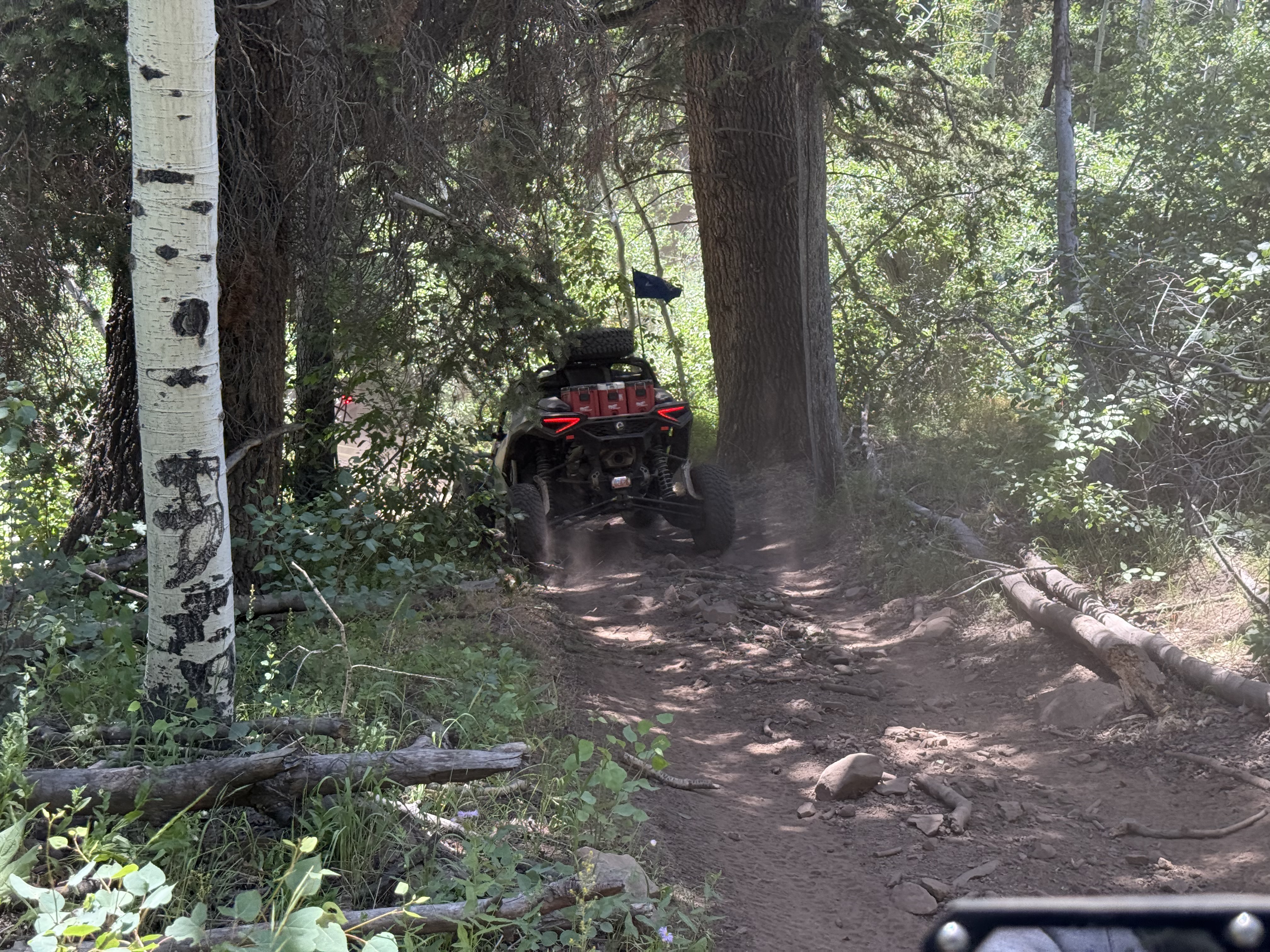
The main ride Saturday will be approximately 70 miles. And is a fun and scenic loop.
GPS coordinates: 40.29398, -111.21949
Starting time: 9:30 am
Difficulty: intermediate
Duration: approximately 70 miles
Camping available at the staging area. We will do corn puppies aka mini corn dogs for the after ride cookout, so bring a side or dessert to share and plan on having dinner with us after we get back to camp.


Leave a comment